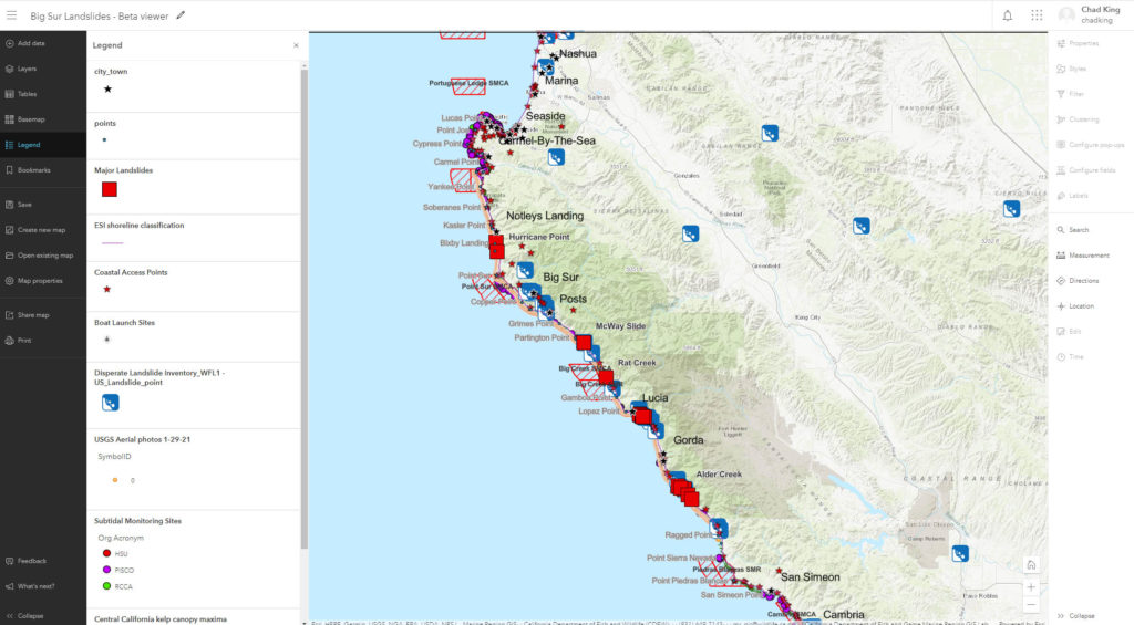
This map depicts major and minor historical landslides along the Big Sur coast. Clicking on a landslide will reveal a pop-up box with additional information about the slide, including images and links to any available video clips. Reference layers include recent aerial photos along the coastline, marine protected areas, kelp canopy maxima, coastal access points, post mile markers and more. Direct any questions to chad.king@noaa.gov.
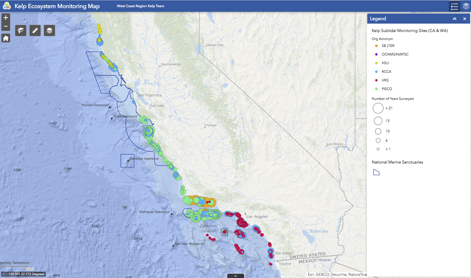
This map depicts kelp subtidal monitoring sites along the coast of California (and Washington). Sizes of each circle represents number of years that site was surveyed. Additional information can be found by clicking a site for a pop-up window. Direct any questions to chad.king@noaa.gov.
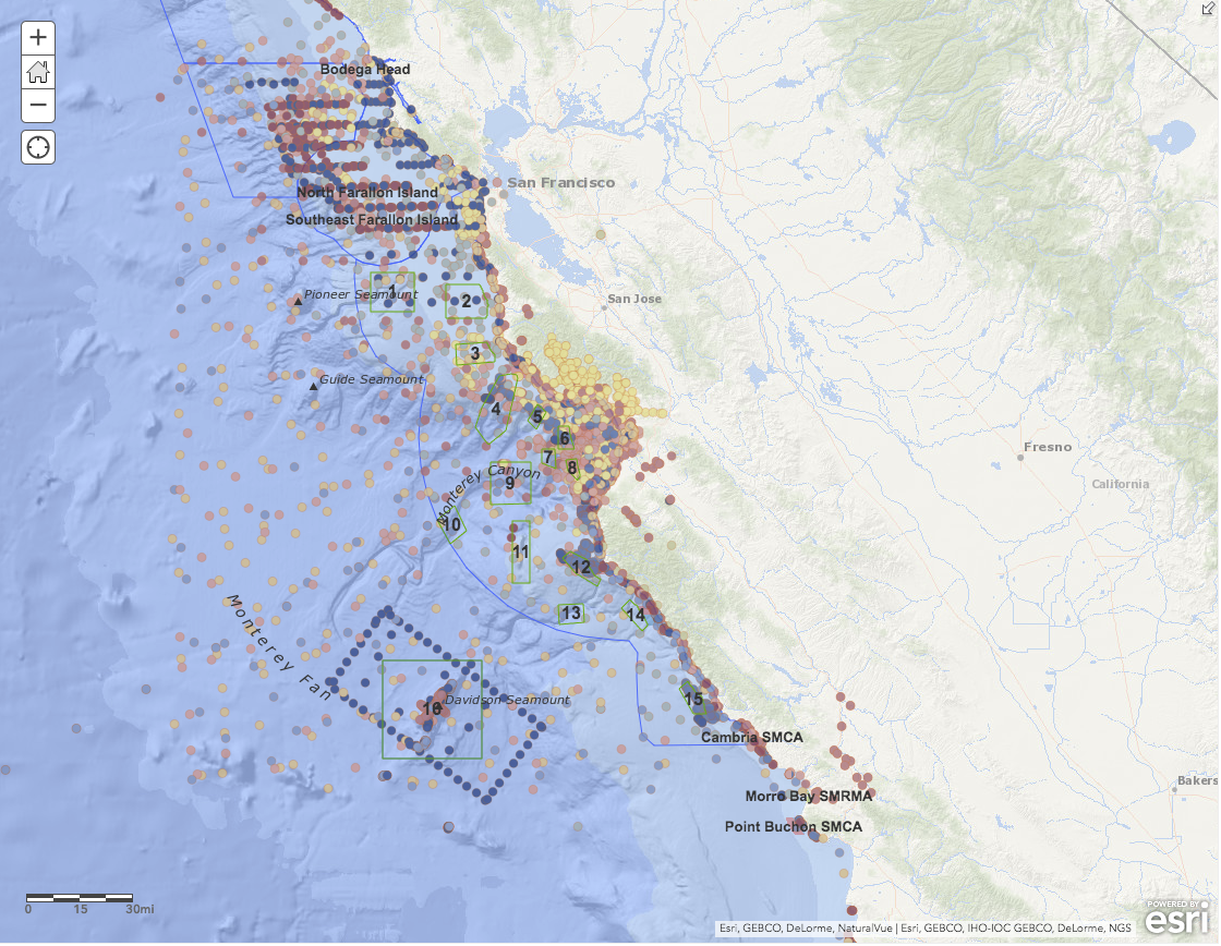
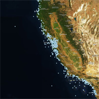
SIMoN Map of Projects
This map represents most of the monitoring projects listed on SIMoN. Additional information and links to each project can be found in the pop-up window revealed after clicking on a point. Direct any questions to chad.king@noaa.gov.
CeNCOOS Real-time Map of Atmospheric and Oceanic Conditions in California
 A map of near real-time oceanic and atmospheric conditions within the last 7 days.
CeNCOOS Historical Map of Atmospheric and Oceanic Conditions in California
 A map of historic oceanic and atmospheric conditions (older than 7 days).