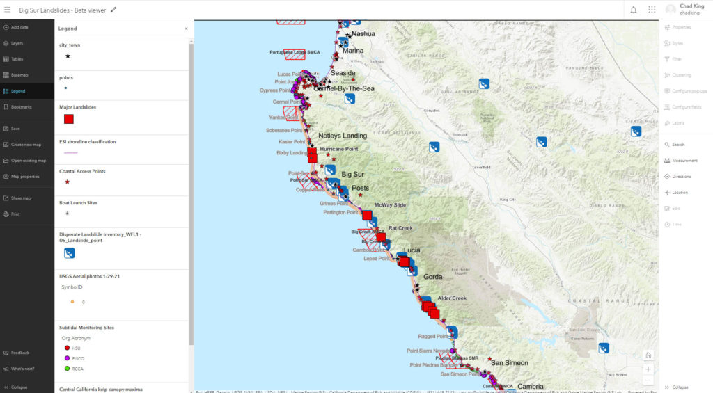
The Monterey Bay National Marine Sanctuary research team published a (draft) interactive map of major and minor historical landslides along the Big Sur coast. Clicking on a landslide will reveal a pop-up box with additional information about the slide, including images and links to any available video clips. Reference layers include recent aerial photos along the coastline, marine protected areas, kelp canopy maxima, coastal access points, post mile markers, and more. Direct any questions to chad.king@noaa.gov.