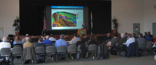
Strategic Planning Workshop for California
Marine Habitat Mapping
California State University Monterey Bay
December 12-13, 2005
 The Strategic Planning Workshop was supported by and organized at the request of the California Coastal Conservancy in their capacity as staff to the California Ocean Protection Council (OPC). The objective of this planning effort was to develop a prioritized strategic plan for statewide seafloor mapping in California state waters, in consultation with relevant stakeholders, including academic institutions, management agencies, and other mapping data consumers. The planning effort was built on previous priority-setting exercises such as the California Marine Habitat Mapping Task Force Workshop (January 2000); existing inventories of data and maps; and mapping priority-setting studies.
The preliminary gals of the workshop were to:
- Update and provide an overview of seafloor mapping techniques, capabilities, interpretation, and applications.
- Identify data gaps in the current mapping coverage of California state waters
- Discuss and identify mapping data and information needs by stakeholders.
- Conduct priority-setting exercises to determine the spatial sequence for future mapping efforts and product generation for state waters (3 nm):
- Within the Central Coast Study Region (RFP) – Monterey Bay to Bodega Bay
- The entire California Coast
- Discuss and develop general guidelines and standards for mapping data acquisition, processing, interpretation, metadata, data sharing and archiving.
The results of the workshop – posted here – aided the Coastal Conservancy (as funded by the California Ocean Protection Council, (OPC) in drafting an RFP for targeted mapping along the California Central coast in 2006. Additional information on the OPC can be found here: http://www.opc.ca.gov/ .
![]() FINAL REPORT (6MB pdf)
FINAL REPORT (6MB pdf)