Skip to content
SIMoN
Sanctuary Integrated Monitoring Network
Menu
Home
About SIMoN
Weather and Tides
Reports and Documents
R/V
Fulmar
Network Partners
Ocean Observatories
Glossary
Channel Islands
Overview
Featured News
Sporadic Events
Cordell Bank
Overview
Featured News
Sporadic Events
Greater Farallones
Overview
Featured News
Sporadic Events
Iconic Kelp Forests of the West Coast
Human Impacts: GFNMS
Invertebrates: GFNMS
Monterey Bay
Overview
Featured News
Sporadic Events
Iconic Kelp Forests of the West Coast
Beach COMBERS
Harmful Algal Blooms
Historical Ecology Timeline
Invasive Species: MBNMS
Marine Protected Areas
Point Lobos Otter Survey
Tools
Project Database
Photo Library
Species Database
Ecosystem Tracking
Bibliography
Maps (Interactive )
Maps (Static)
Marine Sponges of CA
SeaPhoto
SIMoN YouTube Channel
News
Project Database
190 published projects
Photo Library
5886 images as of April, 2024
Species Database
216 species are available
Ecosystem Tracking
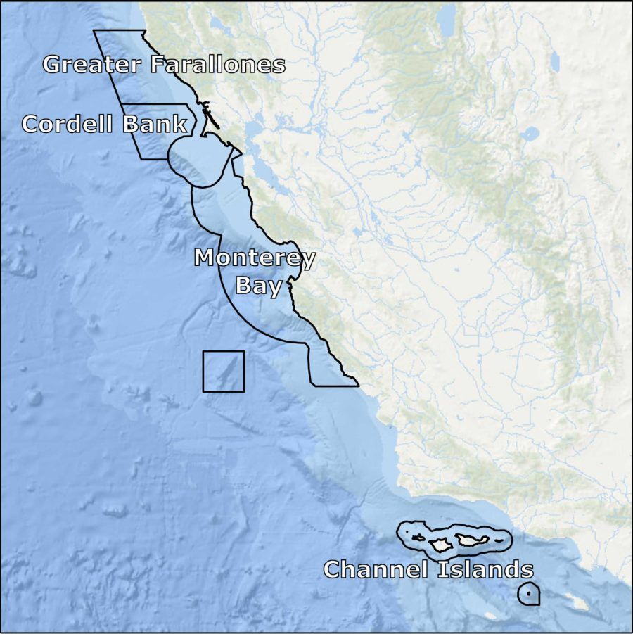
Explore California Sanctuaries
Featured News
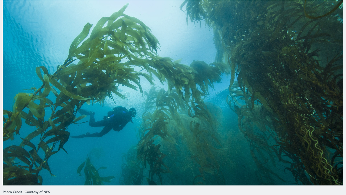
Kelp recruits arrive, but will they survive?
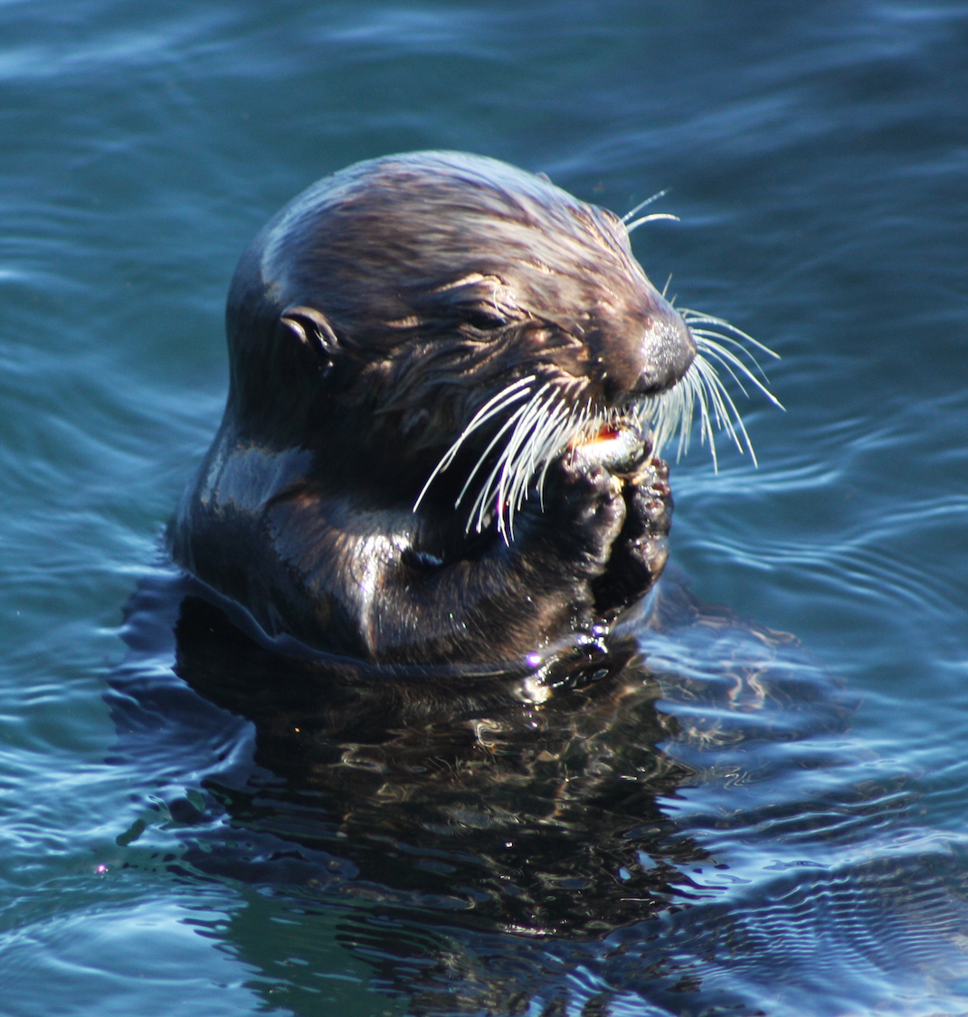
Sea otters play role in protecting salt marsh habitat
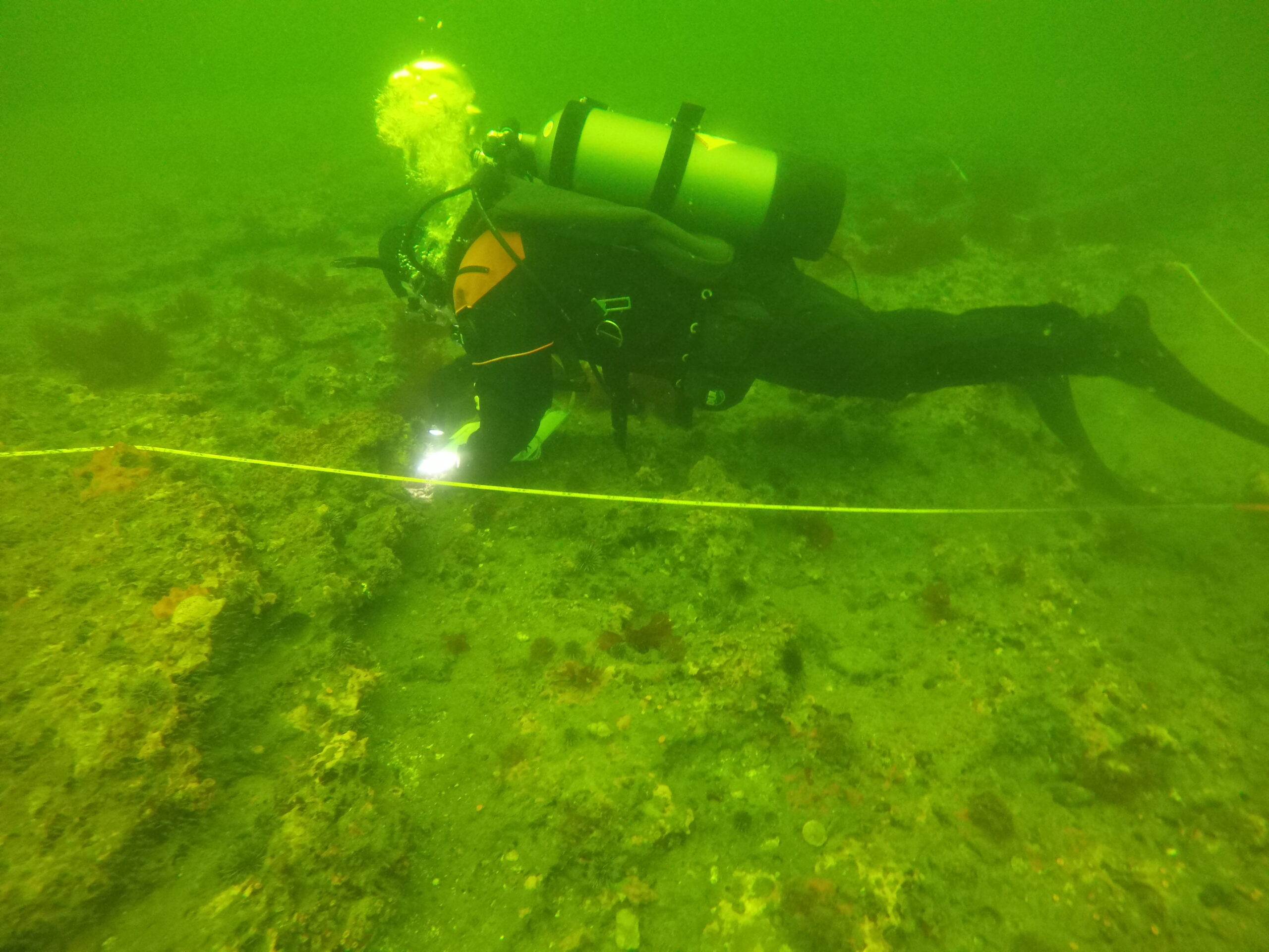
MPAs benefit SCUBA divers
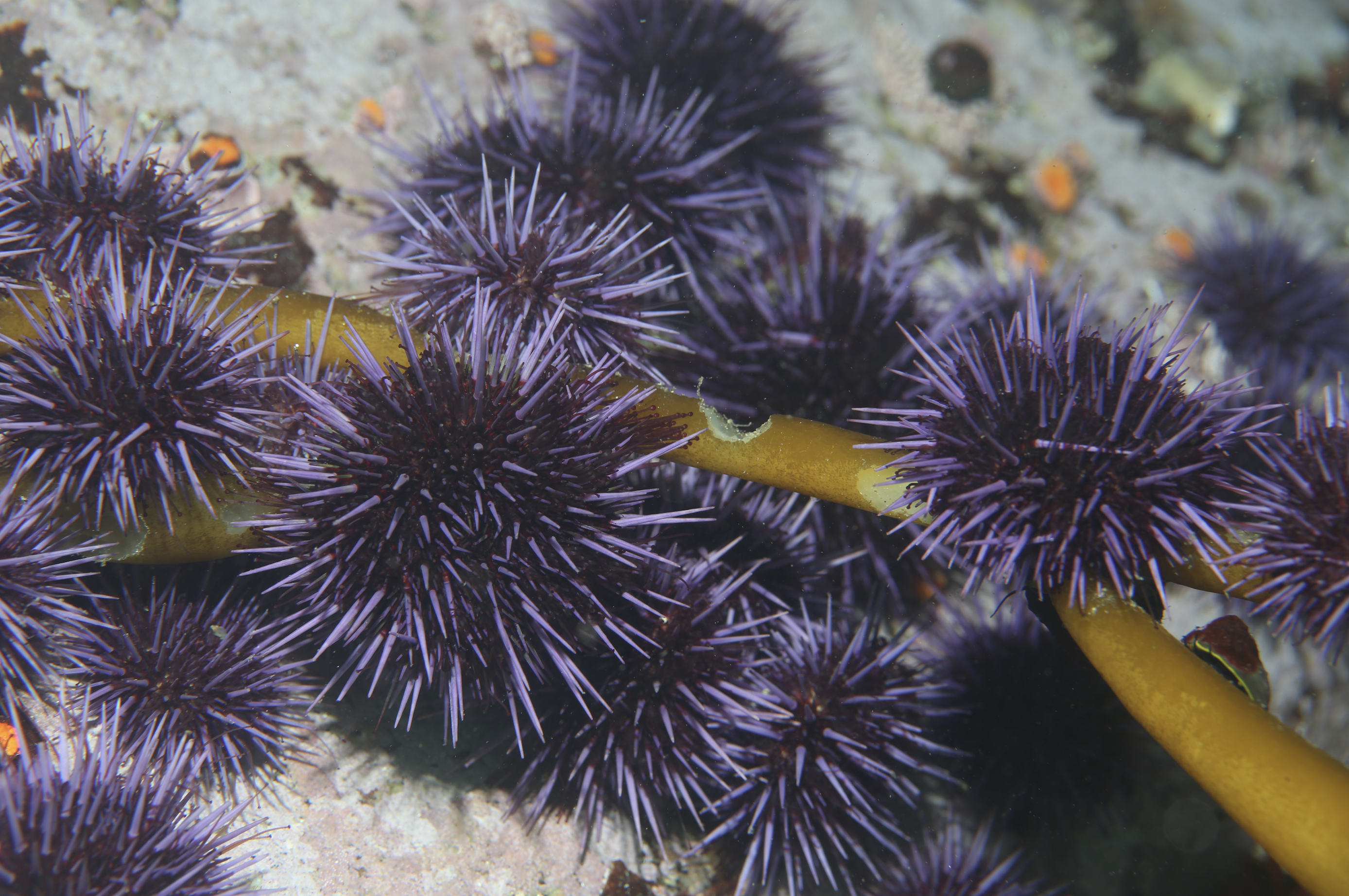
Successful vegetative restoration includes controlling herbivores
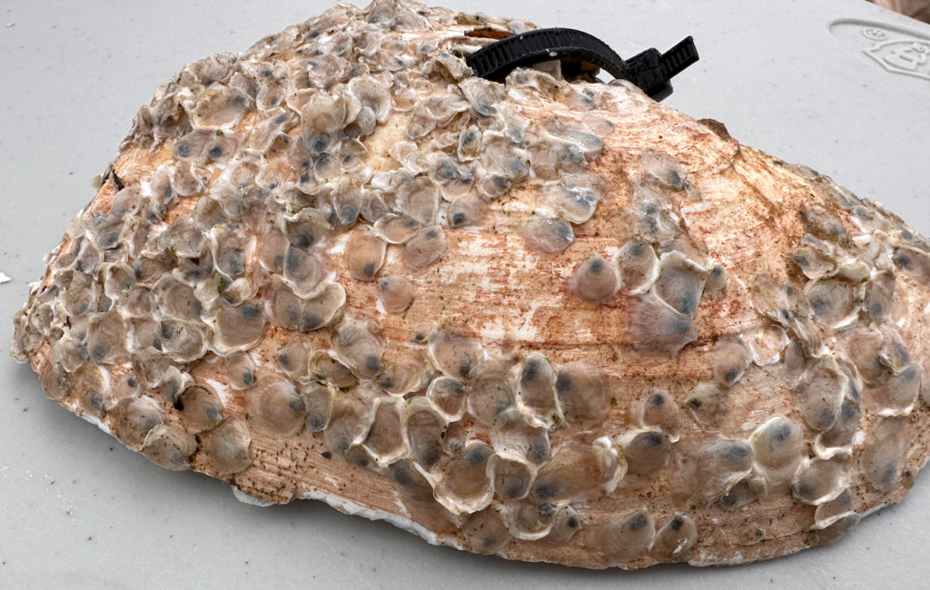
Native oyster restoration at Elkhorn Slough through aquaculture